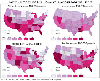
http://www.geog.ucsb.edu/~jeff/gis/choropleth_maps_files/election04_vs_crime03b.jpg This is a Choropleth map because it shows the election results and crime. This Choropleth map shows data that allows the reader to understand elections and crime.


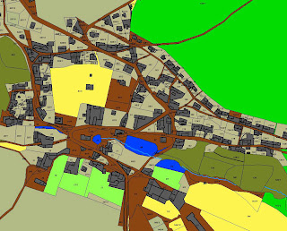
 Cadastral maps show property boundaries and land ownership. This map shows land ownership in Katastral. You can clearly see the boundaries.